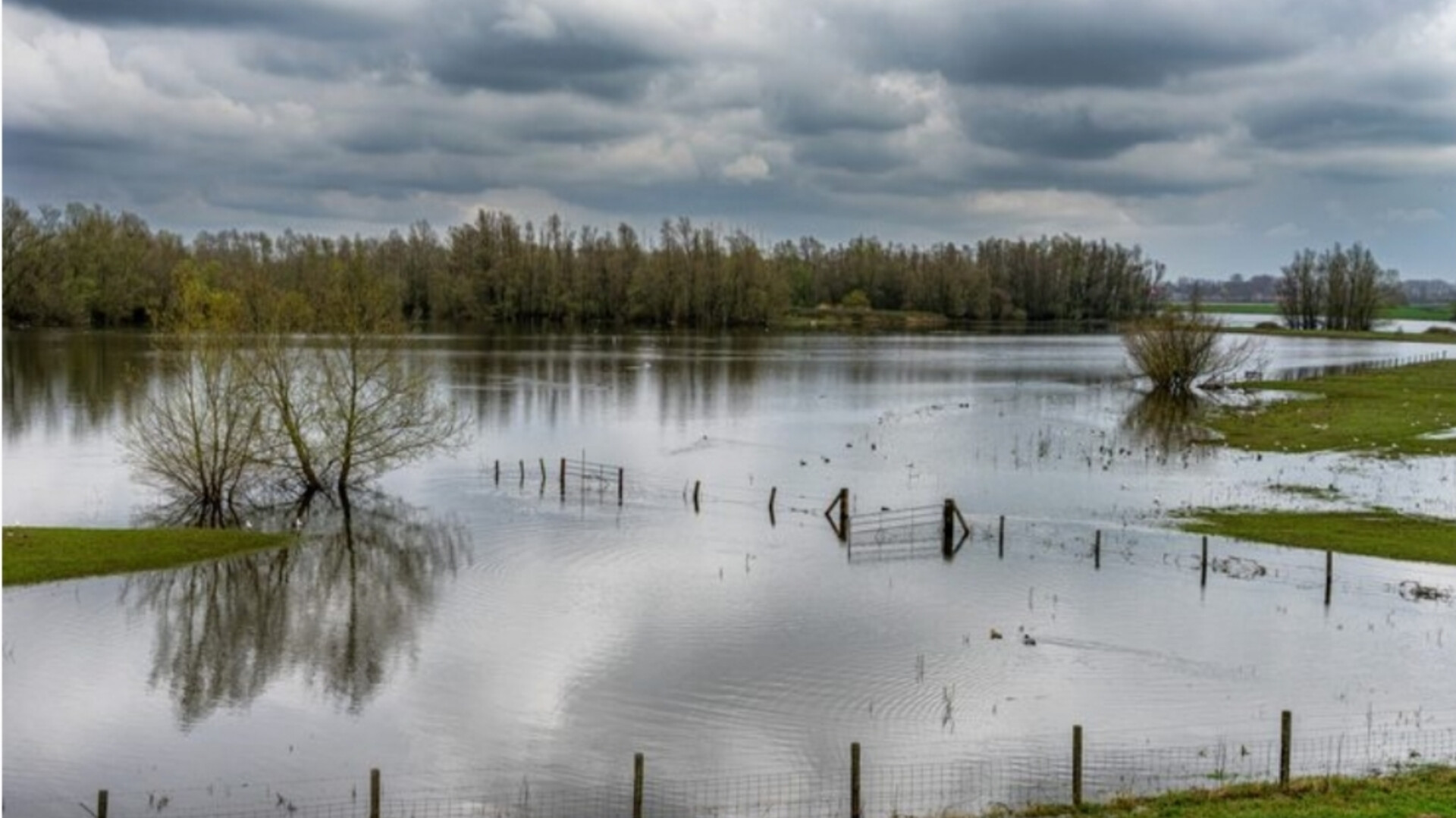
Moisture from Hurricane Polo put all of New Mexico under a flood watch this week, and rescue crews from Nevada and Oklahoma deployed to the state. As of Tuesday evening, the National Weather Service forecast 1 to 3 inches of rain in most areas and as much as 8 inches in isolated spots in the east.
Polo made landfall in Baja California Sur as a Category 2 hurricane, and its remnants moved north into the Southwest. As of Tuesday, forecasters expected the heaviest rain to shift east into Texas and Oklahoma on Wednesday and Thursday.
Forecast rainfall and watches in New Mexico
As of 6:06 p.m. MDT Tuesday, Sept. 29, the National Weather Service office in Albuquerque listed a flood watch in effect through 6 a.m. Wednesday for all of New Mexico, with an extension through Wednesday evening for zones across the north. That statewide portion has now expired. The office forecast 1 to 3 inches for most areas and 4 to 6 inches in isolated spots with repeated downpours.
It put the worst case in eastern New Mexico at pockets of 5 to 8 inches. Rainfall rates were to stay below 0.5 inch per hour for most periods, but thunderstorms could reach 2 inches per hour. The office also listed a slightly increased landslide risk in steep terrain and said areas in and downstream of burn scars were the most susceptible to flash flooding.
The Weather Prediction Center, the NWS unit that maps flood risk nationally, put a moderate risk of excessive rainfall over 150,158 square miles and 2.8 million people in its Day 1 outlook, issued at 0021Z Tuesday (6:21 p.m. MDT Monday) and valid until 1200Z Tuesday. That outlook has expired. It put a slight risk over 12 million people and a marginal risk over 8.7 million.
In its discussion issued at 4:05 p.m. EDT Tuesday, the center tied the flash flood threat to the northward path of Polo’s remnants and pointed to totals of 2 to 4 inches, locally higher, across threat areas from far west Texas to the Texas Panhandle and the eastern New Mexico high plains.
Andrew Orrison, a NOAA meteorologist, told the Mountain West News Bureau that the “more immediate threat” sat across central and southern New Mexico and parts of Arizona, where flash flooding was active on Tuesday.
Rescue teams and the National Guard
Nevada Task Force One sent 45 water-rescue personnel and multiple boats to New Mexico on Tuesday, the Mountain West News Bureau reported. The team draws from the Las Vegas, Clark County, North Las Vegas, Boulder City and Henderson fire departments plus civilian volunteers. The bureau described it as one of 28 federal urban search and rescue teams, and it is assigned to both New Mexico and Arizona.
One team out of 28 is about 3.6% of the national roster covering two states at once. The deployment can last up to two weeks. Oklahoma Task Force One sent two swiftwater teams, one from Oklahoma City and one from Tulsa, to help with search and rescue. Maj. Gen. Miguel Aguilar, adjutant general of New Mexico, said National Guard personnel are “trained, equipped and ready” to support state and local partners.
Clovis and Chaco Canyon damage and closures
Parts of eastern New Mexico were already saturated. The Albuquerque Journal reported that Clovis received about 10 inches of rain, which damaged multiple homes and businesses. The Journal reported that eastern areas were forecast to get 2 to 3 inches more. Added together, that would put Clovis at 12 to 13 inches.
Clovis Police Chief Trevor Thorn said the ground remains “extremely saturated” and many playa lakes are at capacity. Playa lakes are shallow basins that hold runoff on the high plains and have no outlet to a river. Once they fill, additional rain spreads onto streets and yards.
The Albuquerque Journal also reported that Chaco Culture National Historical Park closed Tuesday and Wednesday after a major road collapse on County Road 7900, and the earliest possible reopening was Thursday. Multiple highways in southern New Mexico also closed.
The Journal said flood watches covered Rio Rancho, Santa Fe, Valencia County and eastern communities including Clovis, Tucumcari and Las Vegas. David Craft, an NWS meteorologist, said drier weather should arrive Thursday and give people “a chance to lick our wounds”.
The larger storm system and Arizona
New Mexico is one part of a broader flood threat. The National Hurricane Center’s advisory at 2 p.m. MST Tuesday listed Polo as a tropical storm near 29.0 north latitude and 109.7 west longitude, with 65 mph winds, a minimum pressure of 992 millibars and a northeast motion at 21 mph. The center said strong winds and heavy rain were spreading across northwestern Mexico toward southern New Mexico and far western Texas.
Accounts vary on when Polo came ashore. Weather.com reported a Category 2 landfall in Baja California Sur at 11 p.m. MST Monday, while Fox Weather reported it early Tuesday. Fox Weather said more than 150 million people across 30-plus states face a flood threat from Texas to Minnesota from Tuesday through Friday, Oct. 2, and that flood watches covered 12 states with more expected.
It put 33 million people in a Level 3 risk zone on Tuesday, covering more than 230,000 square miles across the Four Corners, the Texas and Oklahoma Panhandles and the central Plains, and said Polo’s remnants would bring 50 to 60 mph winds to New Mexico.
It said the threat peaks Wednesday and Thursday in Oklahoma and central Texas, where storms could drop up to 3 inches per hour. It estimated nearly 80 trillion gallons of rain could fall this week. Fox Weather also said Dallas, which had gone without measurable rain since July 16, is especially exposed because dry ground absorbs water poorly.
Weather.com forecast 3 to 5 inches across the Southwest, with rates of 1 to 3 inches per hour, and a band of 3 or more inches from Kansas through Illinois. It said atmospheric moisture was expected to be near or above record levels for late September over parts of Texas and Oklahoma.
In Arizona, a flash flood watch ran through 9 p.m. MST Tuesday for Maricopa, Yavapai and Coconino counties, according to FOX 10 Phoenix. The station listed recent wildfire burn scars among the high-risk locations and said rain was falling along Interstate 17 north toward Flagstaff.
What to know if you are driving
Federal authorities urge drivers to turn around rather than cross flooded roads, because most flood deaths occur in vehicles, the Mountain West News Bureau reported.
Weather.com said water depth is hard to judge and a vehicle can be submerged within seconds or minutes. The Albuquerque NWS office said areas in and downstream of burn scars are the most susceptible to flash flooding.