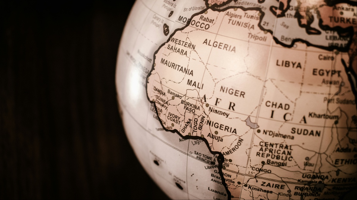
Africa’s true size map debate has moved from classrooms and cartography circles to the United Nations, where 164 countries backed a resolution promoting more accurate world maps. The vote gives new momentum to the Equal Earth projection, which presents continental land areas in their proper proportions. The United States cast the only vote against the measure, turning a technical question about mapmaking into a wider dispute over education, perception, history and modern global representation.
Why Africa’s True Size Map Matters
For generations, the Mercator projection has been one of the world’s most familiar maps. Created by Flemish cartographer Gerardus Mercator in 1569 for navigation, it preserves direction and angles well, but it stretches landmasses more dramatically the farther they sit from the equator.
The result is a map that can make Europe, North America and Greenland appear disproportionately large compared with Africa and South America. The Equal Earth projection, developed in 2018 by cartographers Bojan Šavrič, Tom Patterson and Bernhard Jenny, is designed to preserve relative area instead. Africa, for example, is about 14 times larger than Greenland, even though Mercator maps can make the two appear surprisingly close in size.
Togo, which sponsored the U.N. resolution on behalf of the African Group, argued that the issue is not merely technical. Foreign Minister Robert Dussey said maps “guide education, nourish the imagination, and influence collective perceptions,” warning that distorted images of the world can shape how generations understand geography and power.
The resolution itself also makes an important distinction: it does not ban Mercator or force every country and institution to use one map. Instead, it encourages the use of projections that show continental areas more accurately, especially in education, public information and geographical literacy.
U.S. Casts the Only Vote Against the Resolution
The vote was overwhelming. A total of 164 countries supported the measure, six abstained, and the United States was the only country to vote against it.
U.S. Representative Yaryna Ferencevych argued that the General Assembly had more urgent matters to address. “Instead of focusing on genuine problems… this body is debating map projects from the 16th century and their role in promoting reparations and cognitive justice,” she said before the vote. Ferencevych went further, describing such initiatives as “the reason this institution is losing its credibility.”
That opposition gave the vote an unexpected political edge. Supporters framed the measure as a question of accuracy and representation. In contrast, the United States questioned whether the U.N. should devote time to a cartographic debate tied to broader arguments about colonial history and cognitive justice. The resolution’s supporters, however, have stressed that the proposal is limited to how continental land areas are shown and does not alter national borders, territorial claims or sovereignty.
Equal Earth Changes How the World Looks
France co-sponsored the resolution and also said it would move away from Mercator. French Foreign Minister Jean-Noel Barrot argued that the traditional projection gives the United States, Russia and China “disproportionate visual prominence” compared with Africa, Latin America and Southeast Asia. “Changing maps obviously doesn’t change the world,” Barrot said. “But correcting a distorted representation is already an act of truth.”
That difference is immediately noticeable on Equal Earth. Because it is an equal-area projection, countries and continents keep their correct relative surface areas, even though some shapes still have to be distorted to flatten a round planet onto a two-dimensional map.
That is the unavoidable trade-off at the heart of cartography: no flat map can preserve size, shape, distance and direction perfectly at the same time. Equal Earth chooses to protect area more faithfully while keeping continents visually recognizable.
For Africa, the vote gives fresh international backing to a long-running campaign to change how the continent appears in classrooms, atlases and public displays. The land itself has not changed, but the familiar picture many people grew up with may now face more competition from a map that makes Africa’s scale much harder to overlook.